Travel Planning
Best Time to Visit Cape Verde
We publish no month-by-month table, because we could not source one. Here is what the year is organized around instead, island by island.
- Country Cape Verde
- Category Travel Planning
- Reviewed 20 August 2026
- Sources 4
- Length 2 min read
Credit Cayambe, CC BY-SA 3.0, via Wikimedia Commons
As with our Senegal guide, this page does not open with a table of months, and for the same reason: no climate authority for Cape Verde was reachable when it was written, and a table assembled from memory is exactly the sort of thing that reads as authoritative and is not.
What the sources do give is better than an average anyway, because the useful question in an archipelago is not when but where.
The islands are not one climate
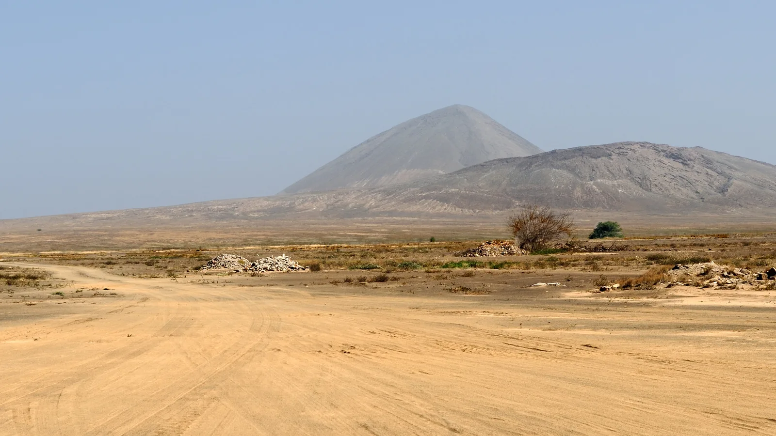
Cape Verde is ten islands and they are not variations on a theme. Sal is a flat, arid plain running to a low volcanic cone. Santo Antao rises to 1,585 meters at Pico da Cruz, and the Cape Verdean submission for its natural park attributes the vegetation there to a microclimate of altitude, slope aspect and hidden precipitation, calling it one of the island's most emblematic humid mountain ecosystems.
Those two are the same country and the same week. Choosing between them is a bigger decision than choosing a month.
What is actually seasonal, and sourced
Three things in the current advice bear on timing.
The Cape Verde government has raised the civil protection warning level for dengue on Santiago, Fogo and Brava. Dengue is carried by mosquitoes that bite in daylight, so this affects how you spend a day rather than an evening.
Sea travel to the southern islands of Brava and Fogo in particular can often be disrupted, so an itinerary that depends on a boat to either wants slack in it.
And seismic tremors are felt occasionally, mostly on Brava and Fogo. The FCDO advises checking with your travel provider before traveling to either.
How to time a trip here
- Decide which islands first. The difference between them is larger than the difference between months.
- Ask your operator about current sailing reliability if Brava or Fogo is on the plan.
- If you are going up Fogo, read about altitude sickness before you go. The volcano is 2,829 meters.
- Treat mosquito precautions as a daytime habit while the dengue warning stands.
- Build in a spare day at the end. Inter-island travel is the part that slips.
Sources
- UNESCO Tentative List: Parc Naturel Cova, Paul et Ribeira da Torre
- UNESCO Tentative List: Parc Naturel de Fogo, Cha das Caldeiras
- UK FCDO: Cape Verde health advice
- UK FCDO: Cape Verde safety and security
The Santo Antao microclimate and the altitude figures are from Cape Verde's own Tentative List submissions for its two natural parks. The dengue warning level is from the FCDO health page and the sailing and tremor notes from the FCDO safety page. All read on 20 August 2026. No month-by-month climate data is published here because no authority for it was reachable.