Heritage
Barotse Cultural Landscape: Visitor and Heritage Guide
The Lozi kingdom moves house every year when the Zambezi rises, and the whole floodplain is built around the fact that it does.
- Country Zambia
- Category Heritage
- Reviewed 18 August 2026
- Sources 2
- Length 3 min read
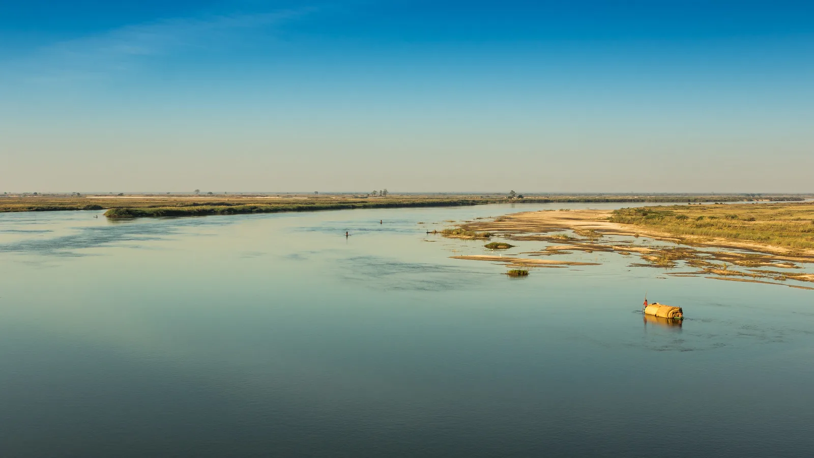
Credit MA Heyns, CC BY-SA 4.0, via Wikimedia Commons
West of Mongu the country simply stops being country. For part of the year the Barotse plain is grassland with cattle on it and for another part it is an inland sea, and the Lozi kingdom that lives there has organized itself around that alternation for centuries rather than fighting it.
The place
The plain is also called the Bulozi Plain, or Lyondo, and it is one of Africa’s great wetlands. It runs from the Zambezi’s confluence with the Kabompo and Lungwebungu rivers in the north to a point about 230 kilometers south, and it is more than 30 kilometers wide along most of that, reaching about 50 just north of Mongu.
The main body covers roughly 5,500 square kilometers. At maximum flood, counting the tributary plains, about 10,750 square kilometers are under water. It is the second largest wetland in Zambia after the Bangweulu system.
What is actually built there
The landscape is described by Zambia’s own nomination as a cultural one, and the reason is that a great deal of it is made. There is a network of canals cut for navigation, transport and drainage. There are mounds, some natural and some raised by hand, on which the ancestors of the present Lozi built their homes so that they would stand above the flood.
The canals and the mounds are not archaeology. They are still in use, and they are still central to how people live there. There are also palaces, shrines and sacred sites, and a road from Mongu harbor across the plain to Kalabo, most of which the flood has washed away.
The flood, and the move
The rains are heaviest in January and February, but the flood peaks about three months later, usually in April, and recedes between May and July. Even at the lowest water in November the plain still holds about 537 square kilometers of lagoons, swamps and channels.
When the plain is fully flooded the Litunga and everyone else living on it move to higher ground, to Limulunga, where a capital stands that mirrors the traditional one at Lealui out in the plain. That journey is the Kuomboka. The word means emerging out of the waters. The return, when the flood falls, is a separate ceremony called Kufuluhela, and Zambia’s own nomination notes that it is not publicised.
Its heritage status, stated precisely
The Barotse Cultural Landscape was submitted to UNESCO’s Tentative List on 10 March 2009 by the National Heritage Conservation Commission, under cultural criteria three and five, reference 5428.
It is not inscribed on the World Heritage List, and neither is the Kuomboka on any UNESCO intangible heritage list. Both statements are made explicitly because the opposite is widely repeated. The distinction is not pedantry: inscription brings obligations and scrutiny that a Tentative List entry does not.
Visiting
Mongu is the town to aim for, and the plain is best understood from the water. Boats and water taxis are ordinary transport here rather than an excursion, which is the most honest way to see the place.
If the Kuomboka is the reason you are going, read the festivals guide first. It has no date, it is called by the Barotse Royal Establishment when the flood is ready, and it has been canceled in years when the water did not arrive.
Understanding the plain
- The flood peaks about three months after the rain, usually in April
- The canals and mounds are working infrastructure, not ruins
- Lealui is the capital in the plain and Limulunga the one above it
- Kufuluhela, the return journey, is deliberately not publicised
- The landscape is on the Tentative List and is not inscribed
Sources
- UNESCO World Heritage Centre: the Barotse Cultural Landscape on Zambia’s Tentative List
- UNESCO World Heritage Centre: Zambia, its inscribed property and its Tentative List
The measurements, seasons and ceremony descriptions above are taken from Zambia’s own Tentative List submission to the World Heritage Centre.