Heritage
Cha das Caldeiras: Visitor and Heritage Guide
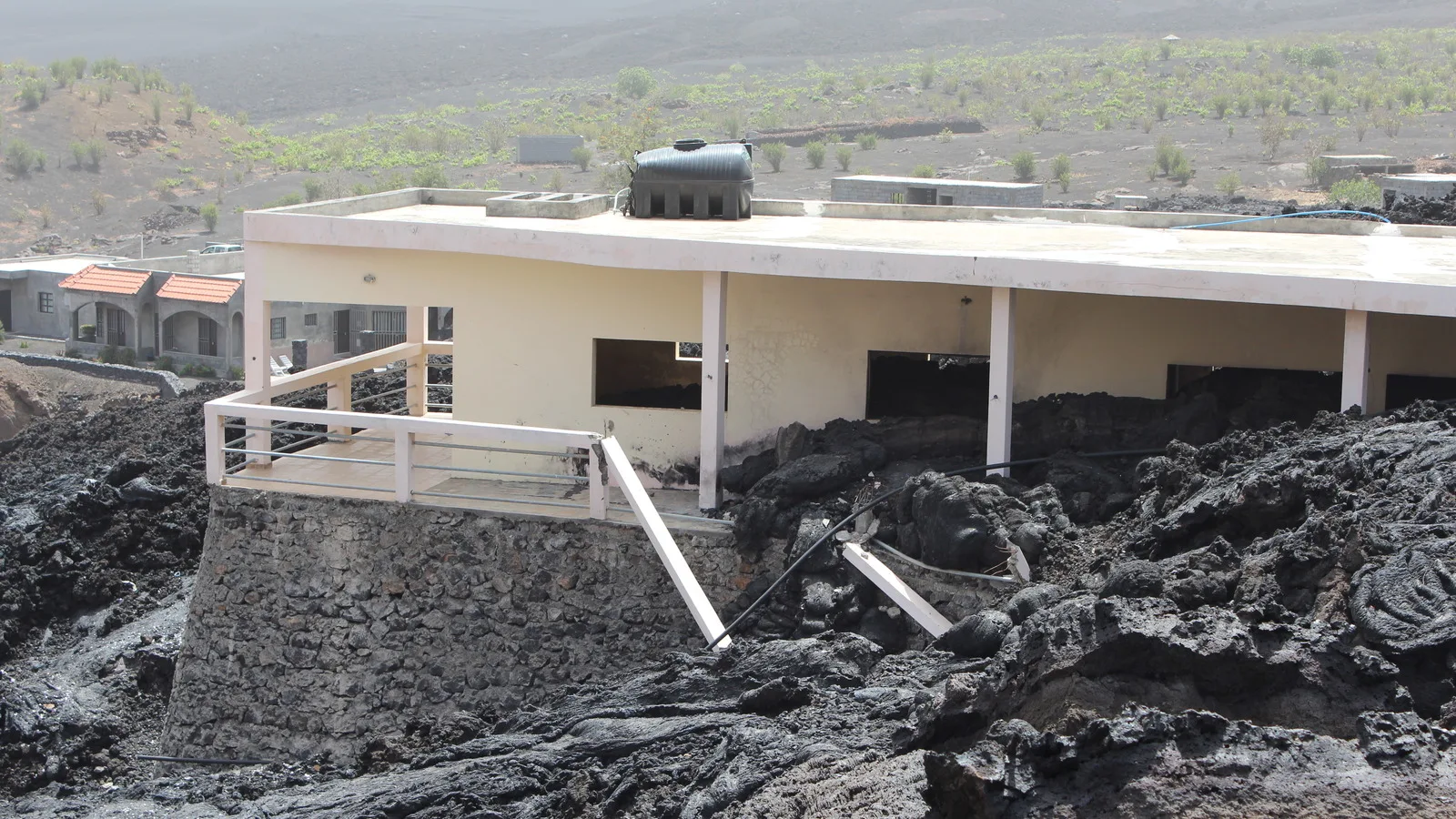
People live on the floor of an active volcano with an eight kilometer caldera. In 2014 it erupted, and they are still there.
- Country Cape Verde
- Category Heritage
- Reviewed 20 August 2026
- Sources 3
- Length 2 min read
Credit Zinneke, CC BY-SA 3.0, via Wikimedia Commons
The Parc Naturel de Fogo is on Cape Verde's Tentative List, submitted in 2016. It is not inscribed. The figures below are from the country's own submission.
The park covers 8,468.5 hectares of the central part of Fogo, taking in the volcano, the crater, the Bordeira rampart and the Monte Velha forest, and it spans three municipalities: Santa Catarina holds half of it, Mosteiros twenty-eight percent and Sao Filipe twenty-two.
Visiting
- Altitude sickness is a risk on Fogo. The FCDO says so, and the summit is 2,829 meters.
- Seismic tremors are felt on Fogo, and the FCDO advises checking with your travel provider before traveling there.
- Sea travel to Fogo in particular can often be disrupted. Build in slack.
- The dengue civil protection warning level has been raised on Fogo among other islands.
- Go with a local guide. The caldera floor is a working settlement, not a viewpoint.
Sources
- UNESCO Tentative List: Parc Naturel de Fogo, Cha das Caldeiras
- UK FCDO: Cape Verde health advice
- UK FCDO: Cape Verde safety and security
The park figures, the caldera dimensions and the altitude are from Cape Verde's Tentative List submission, entry 6100, submitted in 2016, written in French and paraphrased here. The altitude sickness, tremor, sailing and dengue notes are from the FCDO health and safety pages for Cape Verde. All read on 20 August 2026.