Heritage
Makgadikgadi Pans: Visitor and Heritage Guide
Botswana calls the Makgadikgadi the largest salt pans in the world, and its nomination is for the archaeology as much as the emptiness.
- Country Botswana
- Category Heritage
- Reviewed 18 August 2026
- Sources 3
- Length 3 min read
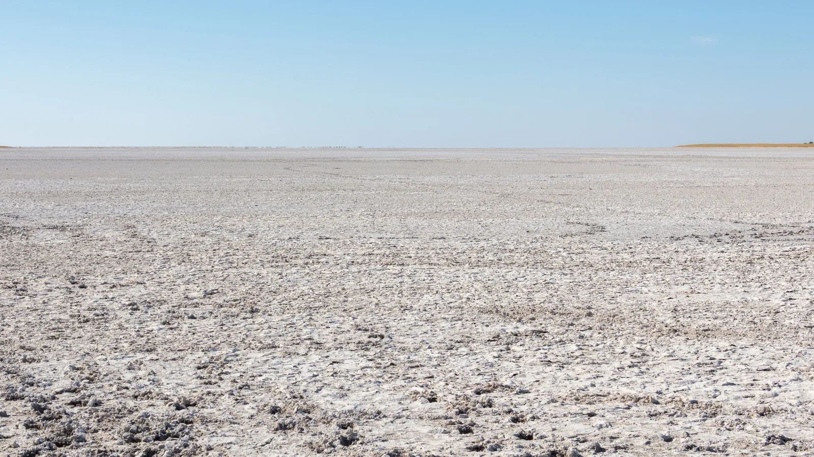
Credit Diego Delso, CC BY-SA 4.0, via Wikimedia Commons
Most people meet the Makgadikgadi as a photograph: a white plain with a horizon that curves and nothing else in the frame. That is accurate, and it is about a tenth of what is out there.
What it is, and its status
The Makgadikgadi Pans Landscape sits north east of the Central Kalahari Game Reserve and south east of the Okavango Delta. It is linked to the delta by the Boteti River and fed from Zimbabwe by the ephemeral Nata. Botswana’s own nomination describes it as the largest salt pans in the world, covering over 30,000 square kilometers, and as one of the former largest inland seas in the world.
It was submitted to UNESCO’s Tentative List on 27 May 2010 under criteria five, seven, eight and ten, in the mixed category, meaning it is proposed as both cultural and natural heritage. It is not inscribed. A Tentative List entry is a state saying it intends to nominate, which is an earlier and much weaker status than inscription, and sources that describe the pans as a World Heritage Site are wrong.
The archaeology, which is why it is a mixed nomination
The nomination records sites from the Early Stone Age to the historic period. The Boteti River and Ngxaisini Pan have yielded Acheulian tools, and Middle and Late Stone Age tools. There are fossil deposits holding bones, elephant tusks and fragments of mammalian teeth set in calcareous material.
Then the Early Iron Age: settlements of the Toutswe tradition at Lekhubu, Tlapana and Mmakgama. In total the submission counts about two hundred recorded sites, including over five hundred individual stone walls of the Sotho Tswana tradition, along with Khama ruins, Thitaba, Kaitshe, and Baine’s and Green’s baobabs.
Five hundred stone walls is not a footnote. It is a built landscape, on a plain that is marketed almost entirely as an absence.
The two seasons
In the dry months the pans are a bare salt crust, drivable in places and walkable in others, and this is when the emptiness is the attraction. Lekhubu, often written Kubu Island, is a granite outcrop with baobabs on it that stands out of the pan like a ship.
After the rains the pans hold water. Flamingos breed here, the grasses come, and the zebra migration crosses. It is a completely different place and most visitors only ever see one of its versions.
Going there
This is remote country and the advice for remote areas applies in full: arrange things in advance, carry water and fuel, be ready for off road conditions, and in the emptiest parts travel in convoy or carry a satellite phone. A salt crust that looks solid can be soft underneath, and getting stuck out there is a serious situation rather than an inconvenience.
Understanding the pans
- On the Tentative List since 2010, in the mixed category, and not inscribed
- Over 30,000 square kilometers, fed by the Boteti and the Nata
- About two hundred recorded archaeological sites, including over five hundred stone walls
- Dry season for the white crust, wet season for flamingos and zebra
- Convoy or a satellite phone in the emptiest parts, and never drive onto a wet crust
Sources
- UNESCO World Heritage Centre: the Makgadikgadi Pans Landscape on Botswana’s Tentative List
- UNESCO World Heritage Centre: Botswana, its inscribed properties and its Tentative List
- UK FCDO: Botswana safety and security
The measurements and the archaeological inventory are taken from Botswana’s own Tentative List submission to the World Heritage Centre.