Heritage
Mapungubwe: Visitor and Heritage Guide
A kingdom on the Limpopo that traded gold for Chinese porcelain, ruled for four centuries, and was then written out of the country's own history.
- Country South Africa
- Category Heritage
- Reviewed 16 August 2026
- Sources 4
- Length 2 min read
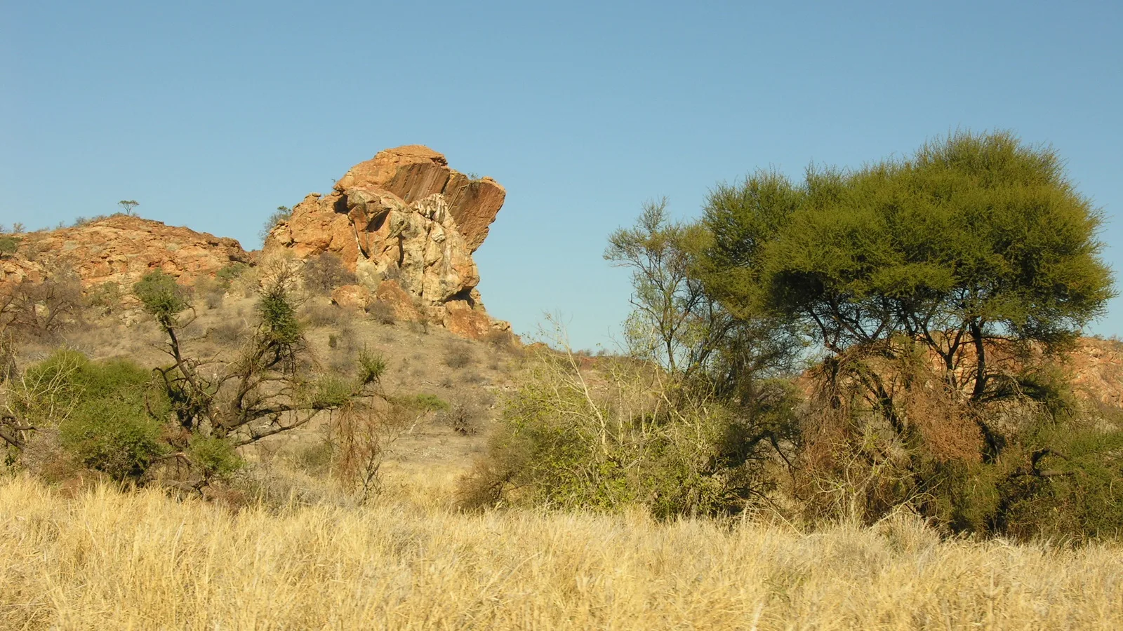
Credit Francesco Bandarin, CC BY-SA 3.0 IGO, via Wikimedia Commons
At the northern tip of South Africa, where the Limpopo meets the Shashe and the borders of Zimbabwe and Botswana meet too, a sandstone hill rises out of open savannah. A thousand years ago it was the seat of the first indigenous kingdom in Southern Africa.
What was here
UNESCO inscribed the Mapungubwe Cultural Landscape in 2003. Its description is precise: the rise and fall of the first indigenous kingdom in Southern Africa, between 900 and 1300 AD, with a core area of nearly thirty thousand hectares.
Three successive capitals are held within the inscription: Schroda, Leopard’s Kopje, and the final one around Mapungubwe hill itself, together with the satellite settlements and the farmland that fed them. The confluence made the land fertile enough to support a large population, which is what made a state possible.
A trading power
Mapungubwe sat where the north to south and east to west routes of southern Africa crossed, and it used that position to control trade. Gold and ivory went out through the East African ports toward India and China. Chinese porcelain and Persian glass beads came back. That is not a marginal detail: it places a southern African kingdom inside the Indian Ocean trading world centuries before Europeans reached the coast.
The wealth produced a stratified society with a sacred leadership, in which the king was physically secluded from commoners living in the settlements below. The archaeology records that separation in the layout of the hill itself.
Why it ended, and why it was buried twice
The kingdom was not conquered. UNESCO attributes its end to climate: rainfall decreased after 1300 AD, the valley could no longer sustain that many people farming that way, and the population dispersed. The power base moved north to Great Zimbabwe and later to Khami.
The second burial was political. A sophisticated precolonial African state was inconvenient to a government whose ideology required that it had never existed, and for much of the twentieth century the finds from Mapungubwe, including worked gold, were kept from public view. The site’s recovery into the national story is recent, which is why many South Africans have still never been.
Visiting
Opening arrangements, guided tour times and road conditions are published by the parks authority and change with the season.
- It is remote: the far north of Limpopo province, a long drive from Johannesburg
- The landscape is a national park, with an interpretive center at the entrance
- Access to the hill itself is by guided tour only, and it is a climb
- It is hot, and the middle of the day in summer is genuinely punishing
- Combine it with the confluence viewpoint, where three countries are visible at once