Getting Around Botswana
- Country Botswana
- Guide Flight Planning
- Reviewed 18 August 2026
- Length 3 min read
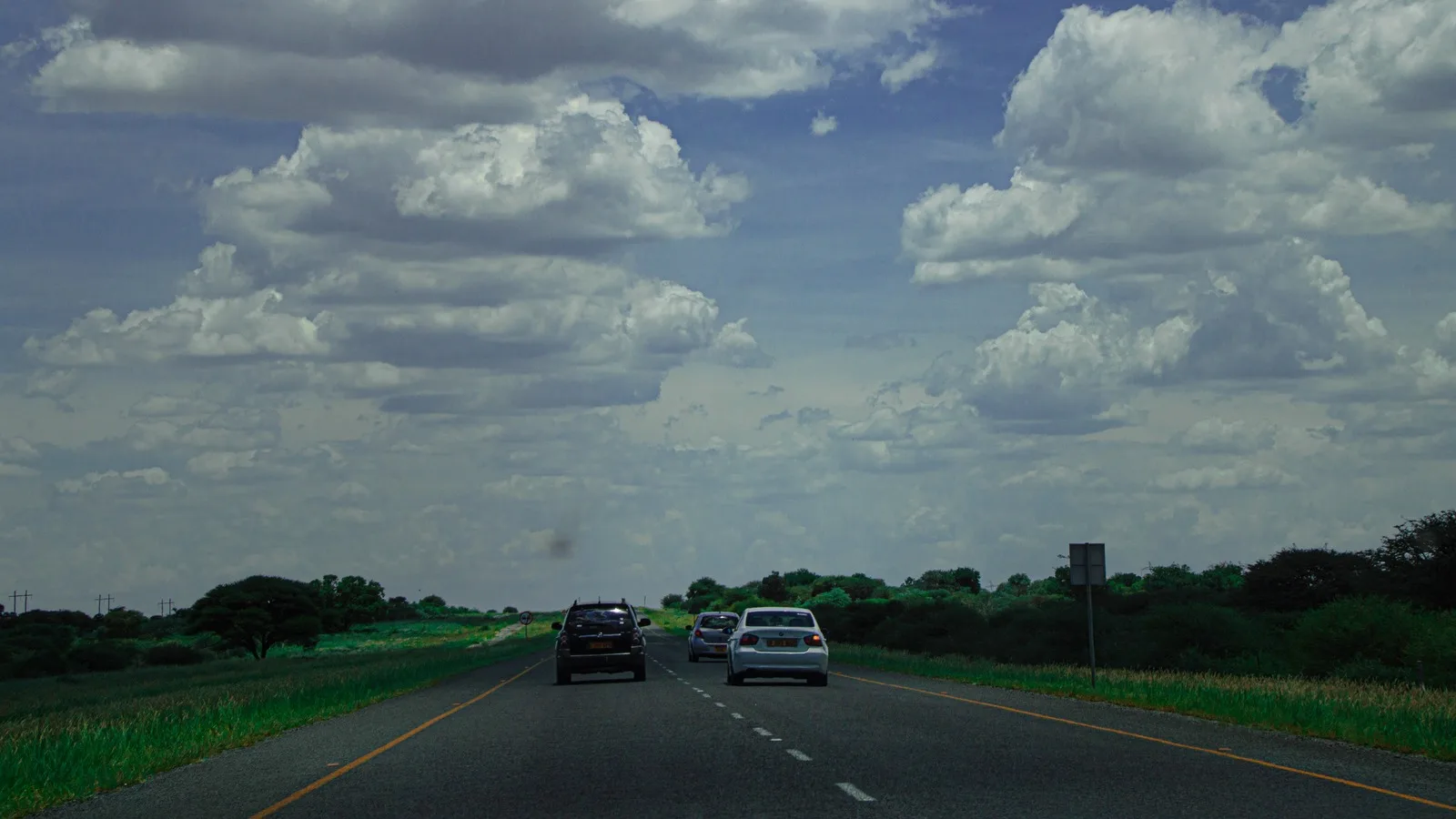
Credit ThusoMotlasuping, CC BY-SA 4.0, via Wikimedia Commons
Last reviewed 18 August 2026
Botswana is the size of France with about two and a half million people in it, and the road network is genuinely good. That is worth saying plainly because it is the opposite of the picture most visitors arrive with, and because it changes what the real hazard is.
The roads are good, which is not the same as safe
The Foreign Office describes Botswana as having good tarmac roads covering most of the country. The danger is not potholes. It is that driving outside the major urban areas is dangerous because of stray wildlife and livestock, and that this is a particular risk at night.
Cattle and donkeys are unfenced along much of the network. Elephants cross the roads in the north. An animal on an unlit road at speed is the accident that happens here, and it is why the single most useful rule is to finish driving before dark.
Standards of driving are lower than you may be used to, many drivers ignore the rules of the road, and speeding and driving under the influence cause frequent and often fatal accidents.
Driving yourself
A UK photocard license is accepted for up to ninety days, and a Botswana license is needed beyond that. Hire companies often ask for more than the law does: a year of driving experience, a higher minimum age and an international permit.
Self drive is genuinely popular here and it is not casual. For remote areas the advice is to arrange transport and accommodation in advance, seek local security advice, carry emergency supplies including water and fuel, and be prepared for off road conditions. In very remote areas, travel in convoy or carry a satellite phone in case of breakdown.
Read that list again if you are planning the Central Kalahari or Makgadikgadi. It is not boilerplate.
Flying
Most delta itineraries include light aircraft, because the camps are on airstrips and the water is in the way. Maun is the hub. Baggage limits are strict and soft bags are required. The flights are short, low and often the best sightseeing of the trip.
Taxis and buses
In town, look for licensed taxis with blue plate numbers. A cab run by a recognized company will usually carry branding and can be booked ahead, which is the safer option after dark.
Long distance coaches connect the main towns and are how most people travel between them. They are slow, and they run to the towns rather than to the parks.
The rains
From November to March heavy rain brings flash flooding and road conditions across the country may become unsafe. Flooding can also affect border crossings, which matters if your itinerary depends on reaching Zambia, Zimbabwe or Namibia on a particular day.
Getting around
- Finish every drive before dark, because the hazard is animals rather than tarmac
- Carry an international driving permit even where a home license would do
- For remote areas, carry water and fuel and tell someone your route
- Convoy or a satellite phone for the Central Kalahari and the pans
- Expect a strict soft bag limit on any light aircraft
- Use licensed taxis with blue plates, booked ahead after dark
- Check road and border conditions between November and March