Getting Around Malawi
- Country Malawi
- Guide Flight Planning
- Reviewed 19 August 2026
- Length 2 min read
Credit Davidktorza, CC BY-SA 4.0, via Wikimedia Commons
Last reviewed 19 August 2026
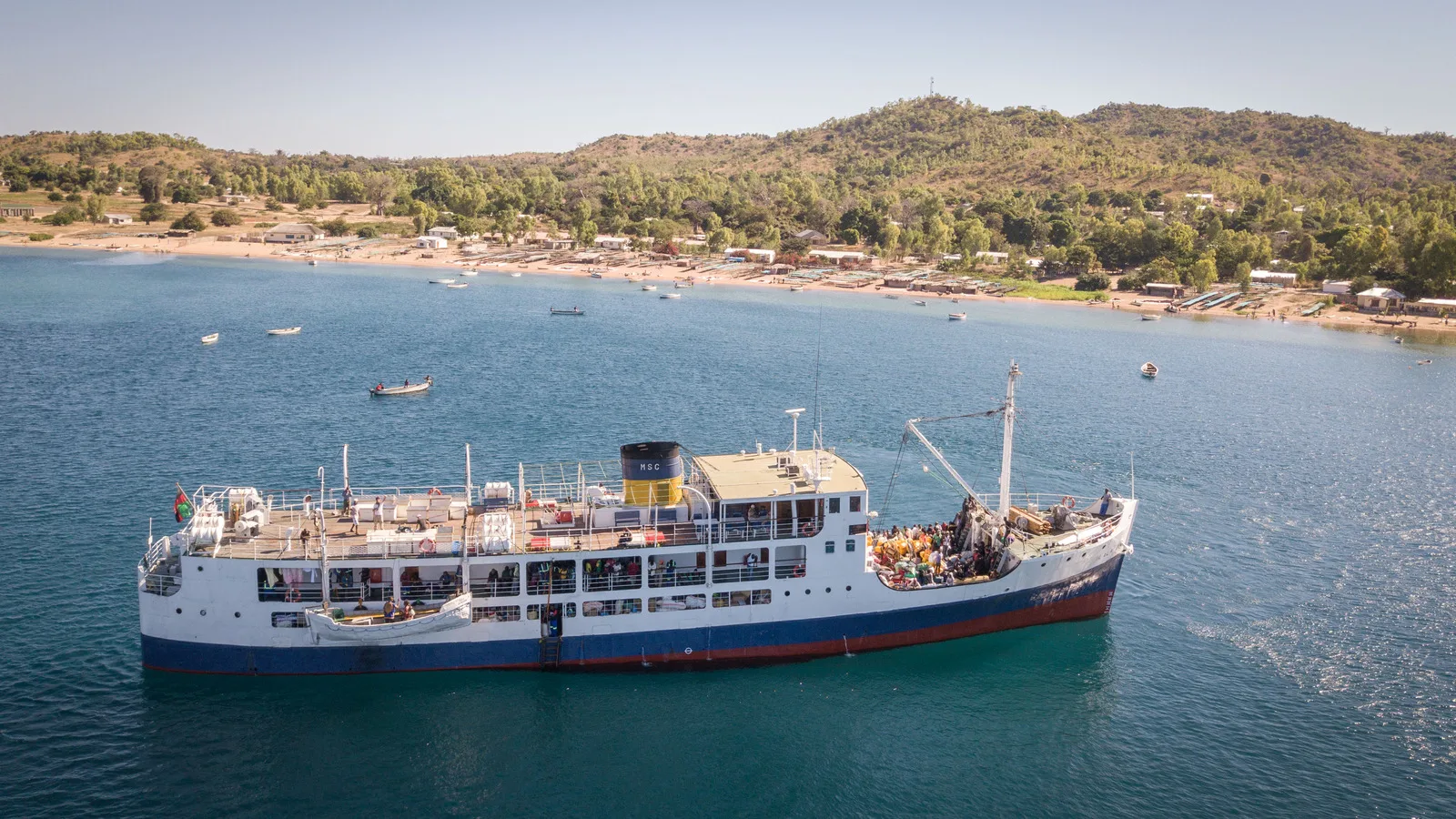
Malawi is long and thin and most of its length is lake, which means the transport question here is unusual: the boat is a serious option rather than an excursion. The MV Ilala has run the length of Lake Malawi for decades, calling at lakeshore towns and at Likoma and Chizumulu islands that no road reaches. It is slow, it is not always on time, and it is the only way to arrive at some places at all.
On the roads
Driving in Malawi is hazardous and the road fatality rate is high. The hazards are the ordinary ones compounded: potholes, animals on the carriageway, abandoned vehicles, cyclists carrying loads, and vehicles driving at night without lights. Emergency services are basic. The single most useful decision a visitor makes is not to drive after dark.
Fuel shortages are frequent and queues can be long. Do not assume that fuel will be available on your route, and fill up when you can rather than when you need to. Police stop vehicles regularly, use breathalysers, and operate speed cameras on main roads that are often not signed. Fines are issued on the spot and a driver caught drink driving or speeding can have the license and the vehicle taken immediately.
Getting around
- A UK photocard driving license is valid for ninety days. An international driving permit extends that to a year.
- Carry your license at all times. You will be asked for it at checkpoints.
- Larger coaches between the main towns are more reliable than minibuses.
- Public minibuses and pick-up trucks are often overloaded and in poor condition.
- The Ilala connects the lakeshore and the islands. Book ahead and expect the schedule to move.
- Avoid road travel after dark anywhere in the country.
- Wear a seatbelt, including in the back.
The rainy season changes the map
Between November and April, rain closes roads. Cyclones and floods are common in that window and they cause landslides, which cut routes and strand transport rather than merely delaying it. Parts of the country become inaccessible. If you are traveling then, check your route before you set out and treat local advice about a road as better than a map.