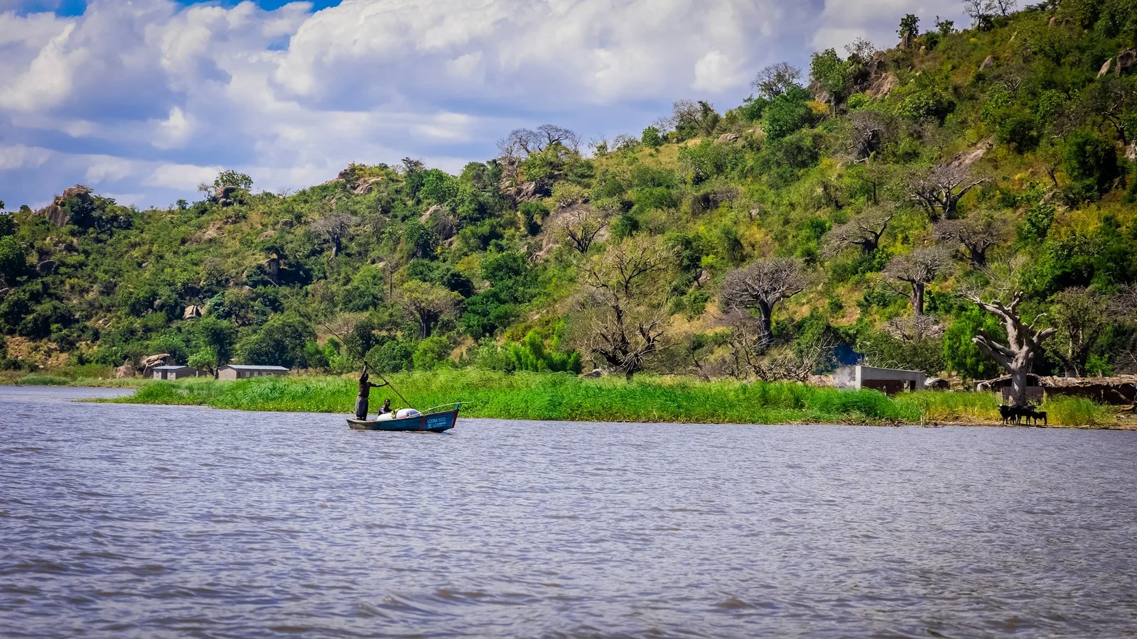
Malawi
A lake that fills a fifth of the country, and the rock art above it
- Region Southern Africa
- Country Malawi
- Type Country
- Reviewed 11 August 2026
- Sources 4
- Length 4 min read
Credit Omar Hakeem, via Unsplash
Why Malawi
Malawi is small, landlocked and organized around water. The lake that carries its name runs down most of the eastern side of the country and covers about a fifth of it, and nearly everything else, the roads, the towns, the fishing and the farming, arranges itself around that fact.
The country is marketed as the warm heart of Africa, and the phrase does two jobs at once. One of them is accurate: Malawians are, by a wide margin, the reason most visitors say they enjoyed themselves. The other is a substitute for specifics, and it has let a country with a World Heritage lake, one of the densest concentrations of rock art on the continent and a mountain inscribed in 2025 be described as though friendliness were all it had.
The lake, and what lives in it
Lake Malawi National Park, at the southern end of the lake, was inscribed in 1984 and covers 9,400 hectares of shoreline, islands and water. UNESCO sets its importance for the study of evolution alongside the finches of the Galapagos, which is not a comparison it makes lightly. The lake holds many hundreds of cichlid species, nearly all of them found nowhere else, and the rock dwelling ones are known locally as mbuna.
What makes them worth a snorkel rather than a paragraph is how visibly the pattern works. Isolated from other water for a very long time, the fish radiated into a species for almost every niche the rocks offer, and the water is clear enough to watch them do it. Granite hills drop straight to the shore, and the Rift Valley escarpment stands behind all of it.
Chongoni, and a mountain inscribed in 2025
Chongoni sits high on the central plateau among forested granite hills: 127 sites across 126.4 square kilometers, listed in 2006 as the richest concentration of rock art in Central Africa. Two traditions overlap on the same rock. BaTwa hunter gatherers painted here from the Late Stone Age, and Chewa farmers, whose ancestors arrived in the Early Iron Age, went on painting into the twentieth century. Their symbols are strongly associated with women.
In the south, Mount Mulanje was inscribed in 2025 as a cultural landscape of almost 90,000 hectares. It is one of the largest inselbergs in the world, and UNESCO lists it for what it means rather than for how it was made: a sacred place understood to be inhabited by gods, spirits and ancestors, whose traditions are sustained by Yao, Mang’anja and Lhomwe communities.
Food
Nsima is the center of the plate: maize flour cooked stiff, eaten by hand, with ndiwo, the relish, which might be beans, pumpkin leaves, groundnut sauce or fish. On the lake the fish is the point. Chambo, a tilapia found in the lake and increasingly under pressure, is the one everybody names; usipa, small and dried, is what most households actually eat.
Thobwa, a sweet fermented maize or millet drink, is served cold and is worth trying once. Tea has been grown in the far south, around Mulanje and Thyolo, since the nineteenth century.
Practical orientation
English is the official language and Chichewa is the one you will hear; a few words of it go a long way. The currency is the Malawi kwacha. The dry season runs roughly May to October and the rains from about November to April, while the lake stays warm all year. Distances are short by regional standards, which is the argument for an unhurried itinerary: the lake, the plateau and Mulanje fit inside a week without spending it in a vehicle.
Entry requirements vary by nationality and change. The Department of Immigration is the authority on them, and this page is not.
Sources and references
- UNESCO World Heritage Centre: Lake Malawi National Park
- UNESCO World Heritage Centre: Chongoni Rock Art Area
- UNESCO World Heritage Centre: Mount Mulanje Cultural Landscape
- Department of Immigration, Republic of Malawi
These are the authoritative references for the World Heritage sites this page discusses; each was checked at source on 11 August 2026. Practical details (entry rules, health guidance, opening times) change constantly. The bodies listed here are authoritative and this page is not.