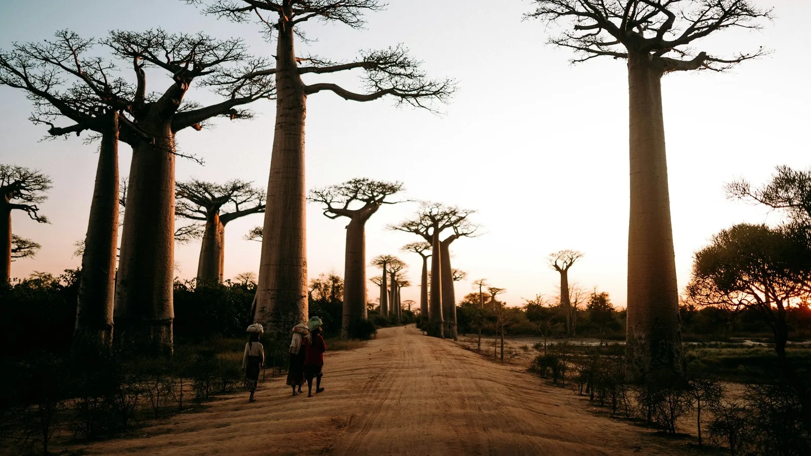
Madagascar
An island apart, and the people who have lived on it for centuries
- Region Indian Ocean Islands
- Country Madagascar
- Type Country
- Reviewed 11 August 2026
- Sources 4
- Length 5 min read
Credit Noah Grossenbacher, via Unsplash
Why Madagascar
Madagascar is the fourth largest island in the world and it has been on its own for a very long time. UNESCO dates its separation from every other landmass at more than 60 million years, which is why so much of what grows and moves here does so nowhere else.
That is half the story. People reached Madagascar comparatively recently, and from two directions at once. The Malagasy language belongs to the Austronesian family, whose other members are spoken thousands of miles to the east, while the island has been part of the western Indian Ocean’s trading world for centuries. A country that is African and Austronesian at the same time, with Arab, Indian and European layers added since, is a more interesting place than a wildlife park, and it takes longer to see.
The dry forests and the tsingy
The western side of the island is dry, and its forests are inscribed together as the Andrefana Dry Forests: four national parks, Ankarafantsika, Mikea, Tsingy de Bemaraha and Tsimanampesotse, and two special reserves, Analamerana and Ankarana. Listed since 1990, the property covers more than 730,000 hectares of karst upland cut into tsingy peaks, a forest of limestone needles, the canyon of the Manambolo river, and undisturbed forest, lakes and mangrove holding rare and endangered lemurs and birds.
Tsingy is usually translated as the ground you cannot cross barefoot, and the rock does stand in blades. Reaching Bemaraha takes days on poor roads and the parks close in the rains, so the west is a journey rather than an excursion. What it buys is baobabs, flame trees, and lineages with no close relatives anywhere, among them an order of birds UNESCO puts at 54 million years old.
Ambohimanga, and the kingdom it made
Ambohimanga is a hill north of Antananarivo carrying a royal city, a royal burial ground and a set of sacred places, and it has held that character for around five centuries. UNESCO calls it the cradle of the kingdom and of the dynasty that made Madagascar a modern state, acknowledged internationally from 1817, and inscribed it in 2001 across 59 hectares.
It is a small site by area and a large one by meaning. The listing describes venerated royal tombs, sacred fountains, basins and woods, sacrificial stones and majestic royal trees, and it is explicit that this is not a ruin: Ambohimanga remains a place of worship, and pilgrims still come. Ask before photographing, follow what your guide tells you about which ground is which, and take seriously that the place is in use.
Food
Rice is not a side dish here. A Malagasy meal is vary, rice, with laoka, the thing eaten alongside it, and the rice is the larger portion. Romazava, a broth of beef with leafy greens, is the dish usually named as the national one; ravitoto, cassava leaves pounded fine and cooked with pork, is the other. Breakfast is often mofo gasy, small rice flour cakes sold hot at the roadside.
Vanilla, cloves and pepper grow here in quantity and show up in the cooking far less than a visitor expects, because most of the crop is grown for export. The best coastal eating is plain: fish, rice, a tomato and onion relish, and a great deal of it.
Practical orientation
Malagasy and French are the official languages, and English is not widely spoken outside the tourism trade. The currency is the ariary. The dry season runs roughly from April to October across most of the island, the eastern rainforest belt is wet for much of the year, and cyclones are possible on the east coast between about November and April. Distances are long and roads are slow, so domestic flights do more work here than in most countries this size.
Entry requirements, health guidance and park access all vary by nationality and change without notice. Madagascar’s own tourism and national parks websites were not reachable when this page was written, so confirm current requirements with a Malagasy embassy or consulate for your country, and with your own government’s travel advice.
Sources and references
- UNESCO World Heritage Centre: Royal Hill of Ambohimanga
- UNESCO World Heritage Centre: Andrefana Dry Forests
- UNESCO World Heritage Centre: Rainforests of the Atsinanana
- Banky Foiben’i Madagasikara, the Central Bank of Madagascar
These are the authoritative references for the World Heritage sites this page discusses; each was checked at source on 11 August 2026. Practical details (entry rules, health guidance, opening times) change constantly. The bodies listed here are authoritative and this page is not.