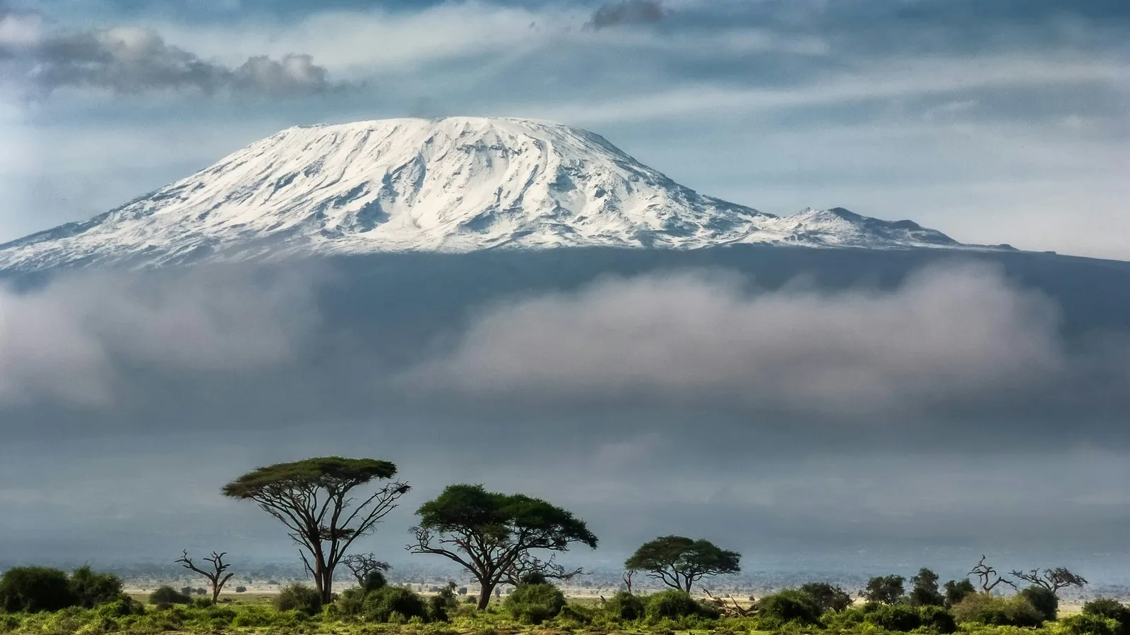
From the roof of Africa to the ruins of a medieval trading state
RegionEast Africa
CountryTanzania
TypeCountry
Reviewed10 August 2026
Sources3
Length4 min read
Credit Sergey Pesterev, via Unsplash
Why Tanzania
Tanzania is large enough to hold several countries’ worth of landscape, and the standard itinerary (a week in the northern parks, a few days on Zanzibar) samples a fraction of it. Seven properties on the World Heritage List sit inside its borders, covering rock art, a medieval Indian Ocean trading state, a coastal city, a mountain and three very large conservation landscapes.
Two of those subjects are already covered on this site in depth, by Alex William Machage, a Tanzanian guide and historian. This page is the shorter route in: what the country is made of, and where to go next.
Kilimanjaro, and the scale of the place
Kilimanjaro is the highest point in Africa at 5,895 meters, and the striking thing is not the height but the isolation. It is a volcanic massif standing alone above flat plains, ringed by its own belt of mountain forest, carrying snow almost on the equator.
The climb is a long walk rather than a technical ascent, which is exactly why it draws people with no mountain experience, and why altitude rather than difficulty is what turns them back. Routes run from about five days to nine. The longer ones give more time to acclimatize, which is the whole game.
Kilwa Kisiwani, and the coast before Europe
On two small islands off the southern coast stand the ruins of Kilwa Kisiwani and Songo Mnara, the remains, in UNESCO’s description, of two great East African ports. Between the thirteenth and sixteenth centuries the merchants of Kilwa dealt in gold, silver, pearls, perfumes, Arabian crockery, Persian earthenware and Chinese porcelain.
That list is the point of the place. It describes a coast wired into the Indian Ocean world for centuries before any European ship arrived, trading as a principal rather than as an outpost, and it is the context most itineraries skip on the way to the beach.
Food
The staple across much of the mainland is ugali, a stiff maize porridge, eaten with beans, greens and grilled or stewed meat. The coast eats differently: rice cooked in coconut milk, pilau and biryani heavy with clove and cardamom, fish grilled whole. The difference between the two tables is the same trade that brought the porcelain.
Practical orientation
Kiswahili and English are both official; Kiswahili is the language of daily life and a few words of it are genuinely useful. The currency is the Tanzanian shilling. The long rains fall roughly March to May and the short rains around November; the northern parks are busiest from June to October, which is also the driest stretch on the mainland.
Entry and health requirements vary by nationality and change. Consult the official Tanzanian sources and your own government before you travel.
These are the authoritative references for the World Heritage sites this page discusses; each was checked at source on 10 August 2026. Practical details (entry rules, health guidance, opening times) change constantly. The bodies listed here are authoritative and this page is not.